
THURSDAY WEATHER: Rain in the west as another cold front arrives and a warning for damaging winds
By Staff WriterPublished: 10 June 2026
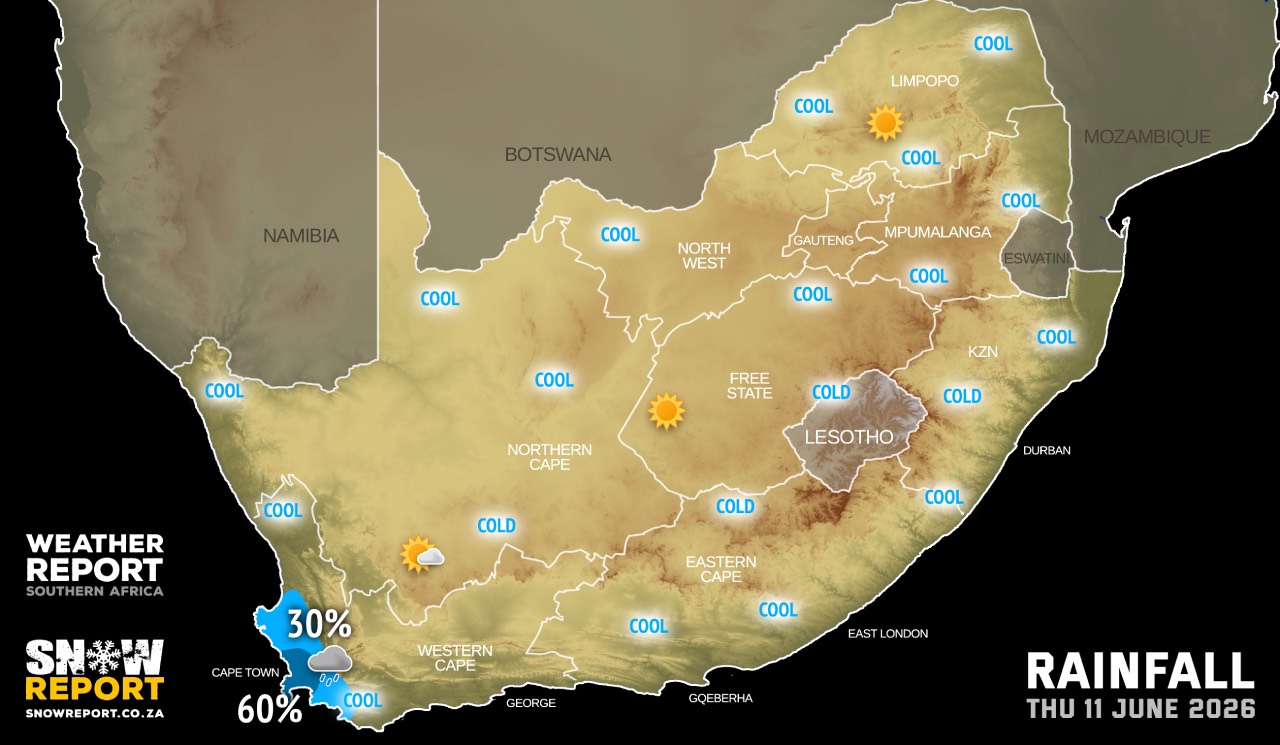
This forecast is for: Thu 11 June 2026
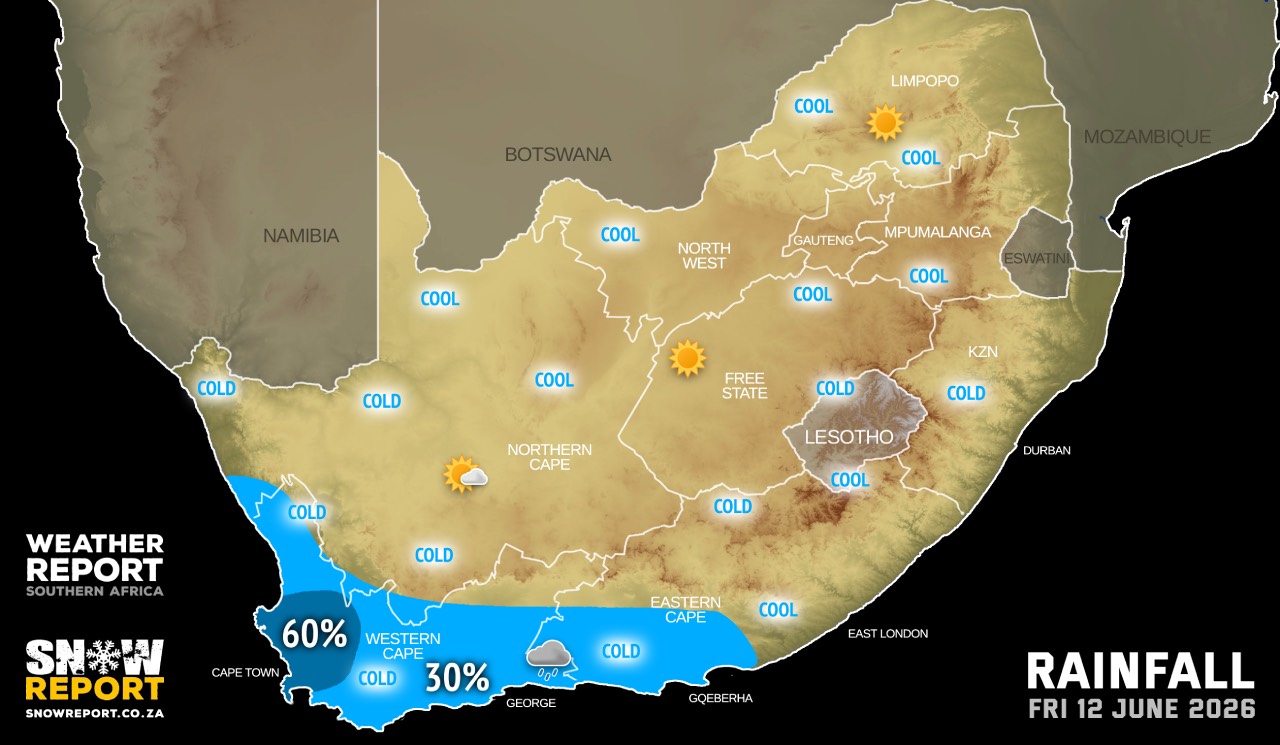
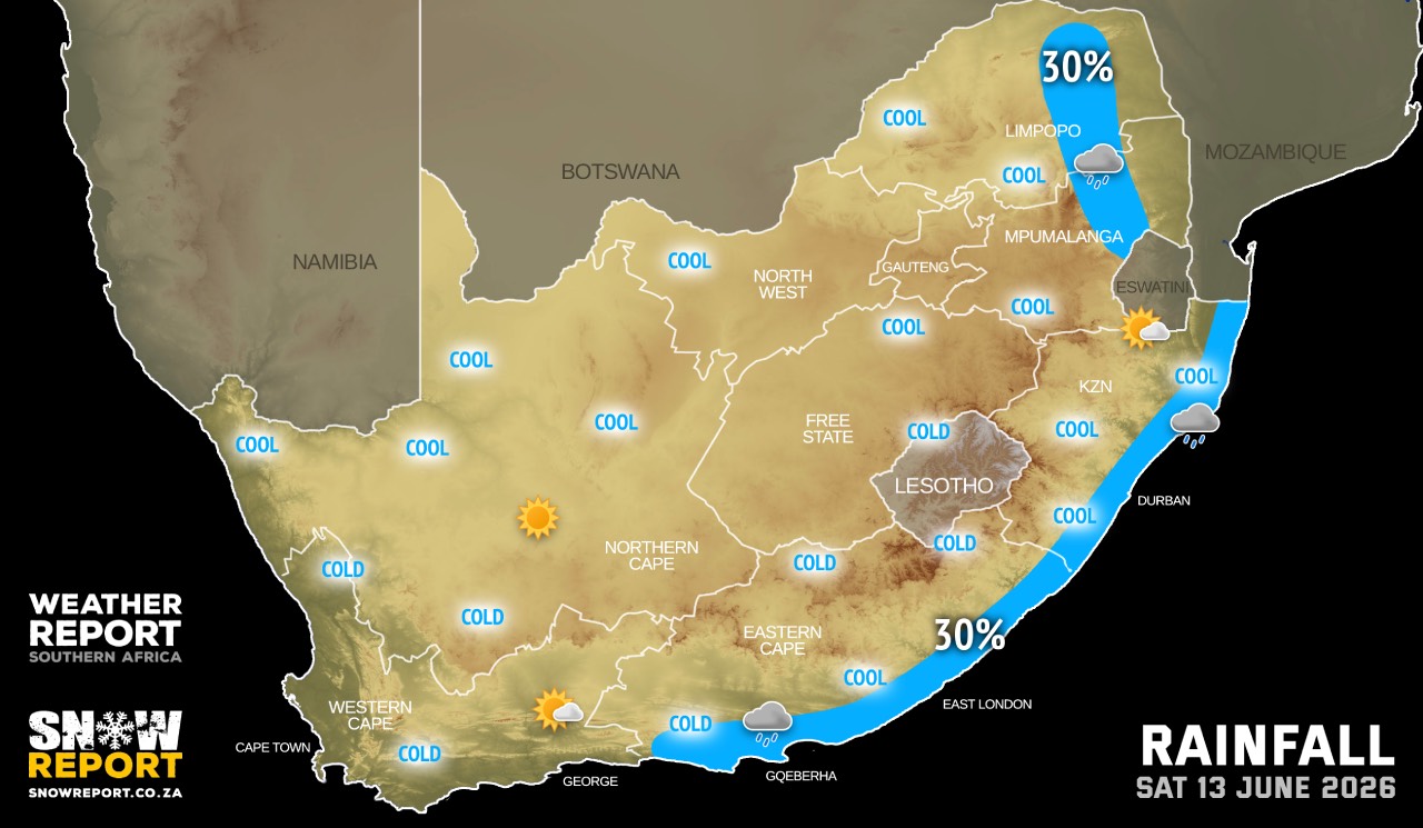
The maps cover: Thu 11 Jun – Sat 13 Jun
| SHARE TO |
Very cold, wet and windy conditions are expected over the southern parts of the Namakwa District in the Northern Cape and well as over the Witzenberg Municipality in the Western Cape on Friday.
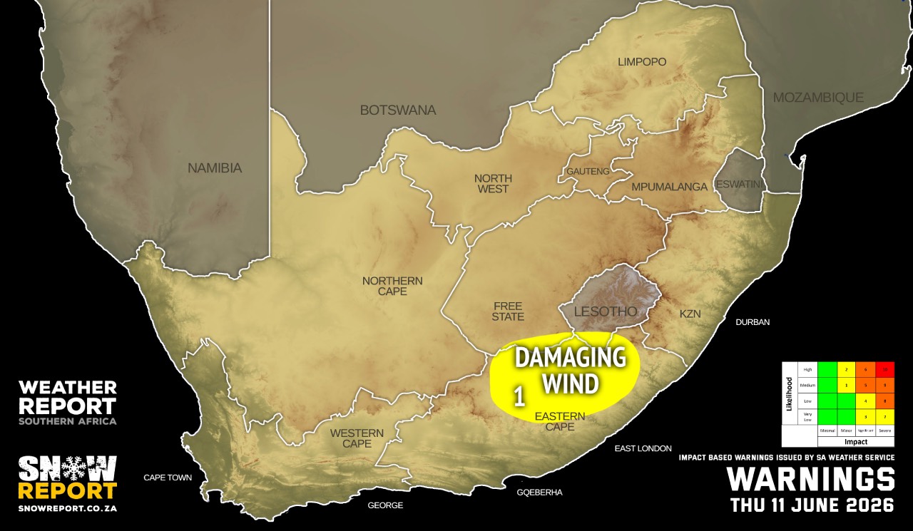
Warnings from the SA Weather Service:
A. level 1 warning for damaging winds resulting in localised damaged to informal and formal settlements, falling trees as well as power and communication interruptions is expected in places over the north-eastern parts of the Eastern Cape.
Regional forecasts from the SA Weather Service for Thursday:
GAUTENG
Fine and cool
MPUMALANGA
Morning fog patches along the escarpment and the Lowveld, otherwise partly cloudy and cool but warm in the Lowveld. It will become fine in the afternoon.
LIMPOPO
Morning fog patches in the east and along the escarpment, otherwise partly cloudy.
NORTH-WEST
Fine and cool.
THE FREE STATE
Fine and cool but cold along the Lesotho border. It will become partly cloudy in the west.
THE NORTHERN CAPE
Partly cloudy along the coast and adjacent interior, otherwise fine and cool. The wind along the coast will be light to moderate south-westerly.
THE WESTERN CAPE
Morning fog patches over the extreme south-western parts where it will be cold in places with light rain from the afternoon, otherwise partly cloudy and cool, but fine in the north-east. The wind along the coast will be moderate to fresh north to north-westerly, but strong along the south-west. t will be west to south-westerly along the south coast until the afternoon.
THE WESTERN HALF OF THE EASTERN CAPE
Fine and cool, but warm in places along the coast. The wind along the coast will be light north-westerly becoming light to moderate south-westerly in the afternoon.
THE EASTERN HALF OF THE EASTERN CAPE
Fine and cool, but warm in places along the coast. It will be windy over the northeastern interior. The wind along the coast will be Light north-westerly becoming light south-westerly in the evening.
KWAZULU-NATAL
Morning fog in places in the north-east where it will be warm, otherwise fine and cool. The wind along the coast will be light to moderate northerly to north-westerly, becoming north-easterly from the afternoon, reaching fresh in the north.
Travellers forecasts from the SA Weather Service for Thursday:
PRETORIA
Fine.
Minimum/Maximum: 06/20°C
JOHANNESBURG
Fine.
Minimum/Maximum: 04/19°C
VEREENIGING
Fine.
Minimum/Maximum: 06/19°C
MBOMBELA
Morning fog patches, otherwise partly cloudy.
Minimum/Maximum: 12/22°C
POLOKWANE
Morning fog patches, otherwise partly cloudy.
Minimum/Maximum: 07/21°C
MAHIKENG
Fine.
Minimum/Maximum: 04/22°C
VRYBURG
Fine.
Minimum/Maximum: 02/22°C
BLOEMFONTEIN
Fine.
Minimum/Maximum: 03/20°C
KIMBERLEY
Fine.
Minimum/Maximum: 03/23°C
UPINGTON
Partly cloudy.
Minimum/Maximum: 08/24°C
CAPE TOWN
Morning fog patches, otherwise cloudy with light rain from late afternoon.
Wind: Moderate to fresh northerly to north-westerly.
Minimum/Maximum: 11/17°C
GEORGE
Fine, but partly cloudy during the day.
Wind: Light and variable.
Minimum/Maximum: 10/20°C
GQEBERHA
Fine
Wind: light to moderate south-westerly.
Minimum/Maximum: 15/25°C
EAST LONDON
Fine.
Wind: Light to moderate north-easterly.
Minimum/Maximum: 16/27°C
DURBAN
Fine.
Wind: light to moderate north-easterly.
Minimum/Maximum: 15/26°C
RICHARDS BAY
Fine
Wind: Light to moderate northerly to north-easterly, reaching fresh in the afternoon.
Minimum/Maximum: 15/29°C
PIETERMARITZBURG
Cloudy with morning fog, becoming fine from mid-morning.
Minimum/Maximum: 08/26°C
This forecast is usually updated a few times per day.
| SHARE TO |
Please be sure to send photos and videos to us via whatsapp and also tell us where and when they were taken.
Follow our channels